

Incoming mission / New Orleans
Click the envelope to open your letter.
Dear Mission Designer,
New Orleans needs your eyes in space.
Track Hurricane Ida's heaviest rain bands so pump and levee crews know where water will rise.
Choose how to observe the mission area from space. We need your first useful observations within 16 hours.
— New Orleans research team
Fictional educational mission request
Open the full flight brief and science sources
Mission control / priority uplink
● ACTIVE TRAINING SCENARIO
Hurricane alert: New Orleans
This training scenario replays Hurricane Ida, which made landfall in Louisiana on August 29, 2021.
Why space? Choose how to observe the mission area from space. Your spacecraft must find useful observations and transmit them to the ground team.
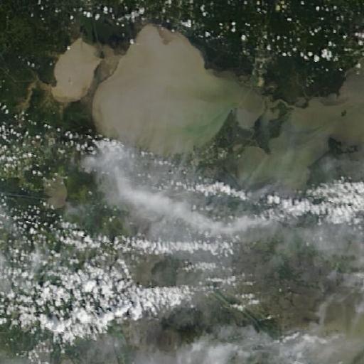
Archived NASA imagery · not a live emergency · source & date ↗
Mission science, assumptions & data sources
What the mission models
Track the heaviest rain bands and get that data to levee crews within 16 hours.
A hurricane is one giant cloud. Ordinary cameras see only the cloud tops.
Results come from the deterministic simulation. Surface temperature is different from air temperature, and radar does not directly measure surface heat.
Source provenance
- NASA GPM IMERG daily precipitation rate (GIBS layer IMERG_Precipitation_Rate) · NASA-observed reference · Hazard cells = top 18% of peak daily GPM IMERG precipitation rate during Hurricane Ida's landfall on 29-30 August 2021 (2021-08-29..2021-08-31). eventDay = day a cell received a quarter of its event total. The hazard cut-off is a game choice.
- Mission: Possible cloud and detectability model · Educational model · cloudProbability (baseline 0.82 for this storm setting) and detectability are seeded educational estimates, not observations.