

Incoming mission / Houston
Click the envelope to open your letter.
Dear Mission Designer,
Houston needs your eyes in space.
Map flooded neighborhoods through cloud cover and deliver actionable coverage within 12 hours.
Clouds cover parts of the flooded area. We need your first useful observations within 12 hours.
— Houston research team
Fictional educational mission request
Open the full flight brief and science sources
Mission control / priority uplink
● ACTIVE TRAINING SCENARIO
Flood alert: Houston
A slow-moving storm has dropped days of rain on Houston.
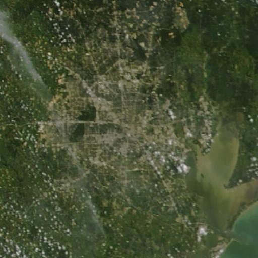
Why space? Clouds cover parts of the flooded area. Your spacecraft must find useful observations and transmit them to the ground team.
Archived NASA imagery · not a live emergency · source & date ↗
Mission science, assumptions & data sources
What the mission models
Map the flooded areas through the clouds and deliver the map to rescuers within 12 hours.
Storm clouds cover the city most of the time.
Results come from the deterministic simulation. Surface temperature is different from air temperature, and radar does not directly measure surface heat.
Source provenance
- NASA GPM IMERG and OPERA DSWx (reference datasets) · Educational model · Flood and cloud patterns are educational models inspired by precipitation and surface-water products; cells are not current observations. The MODIS flood product for Hurricane Beryl (Jul 2024) was checked but is almost entirely cloud-obscured, so it is not used.